
Reading and Interpreting Navigation Charts in Microsoft Flight Simulator
Navigating in Microsoft Flight Simulator (MSFS) can be a rewarding experience, particularly when armed with the knowledge of how to read and interpret navigation charts. These charts are essential for both planning and executing flights in a realistic manner. Here’s a comprehensive guide on how to utilize these charts effectively.
Understanding Navigation Charts
1. Types of Charts
– Visual Flight Rules (VFR) Charts: Designed for pilots flying under visual conditions, these charts highlight landmarks, airspaces, navigation aids (like VORs and NDBs), and often depict terrain elevations. They are useful for navigation based on visual reference points.
– Instrument Flight Rules (IFR) Charts: Meant for pilots flying in conditions where visual navigation isn’t feasible, IFR charts include detailed information such as:
– Enroute Charts: These charts cover the entire route between departure and destination airports, detailing waypoints, airways, and elevation data.
– Approach Plates: These provide detailed information about the aircraft’s approach to airports, including the procedures for landing.
– STARs (Standard Terminal Arrival Routes): Used when approaching an airport, STARs help to organize air traffic and provide a structured path for arriving aircraft.
2. Key Components
– Waypoints: Each waypoint is labeled with a five-letter code and acts as a reference point for navigation, helping pilots to plot their course.
– Legs: The stretches of flight between waypoints are referred to as legs, indicating how the flight progresses sequentially.
– Altitudes and Clearances: Charts indicate the required altitudes to maintain safe separation from other aircraft and obstacles, as well as any necessary clearances from air traffic control.
– Navigation Aids: Familiarize yourself with NDBs, VORs, and GPS systems that provide essential navigational information during your flight.
Using Charts for Flight Planning
1. Flight Planning Software
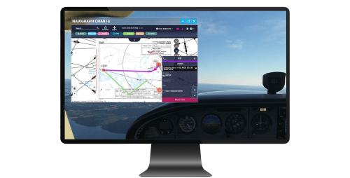
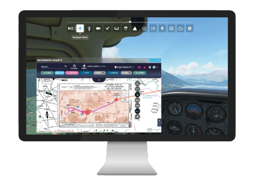
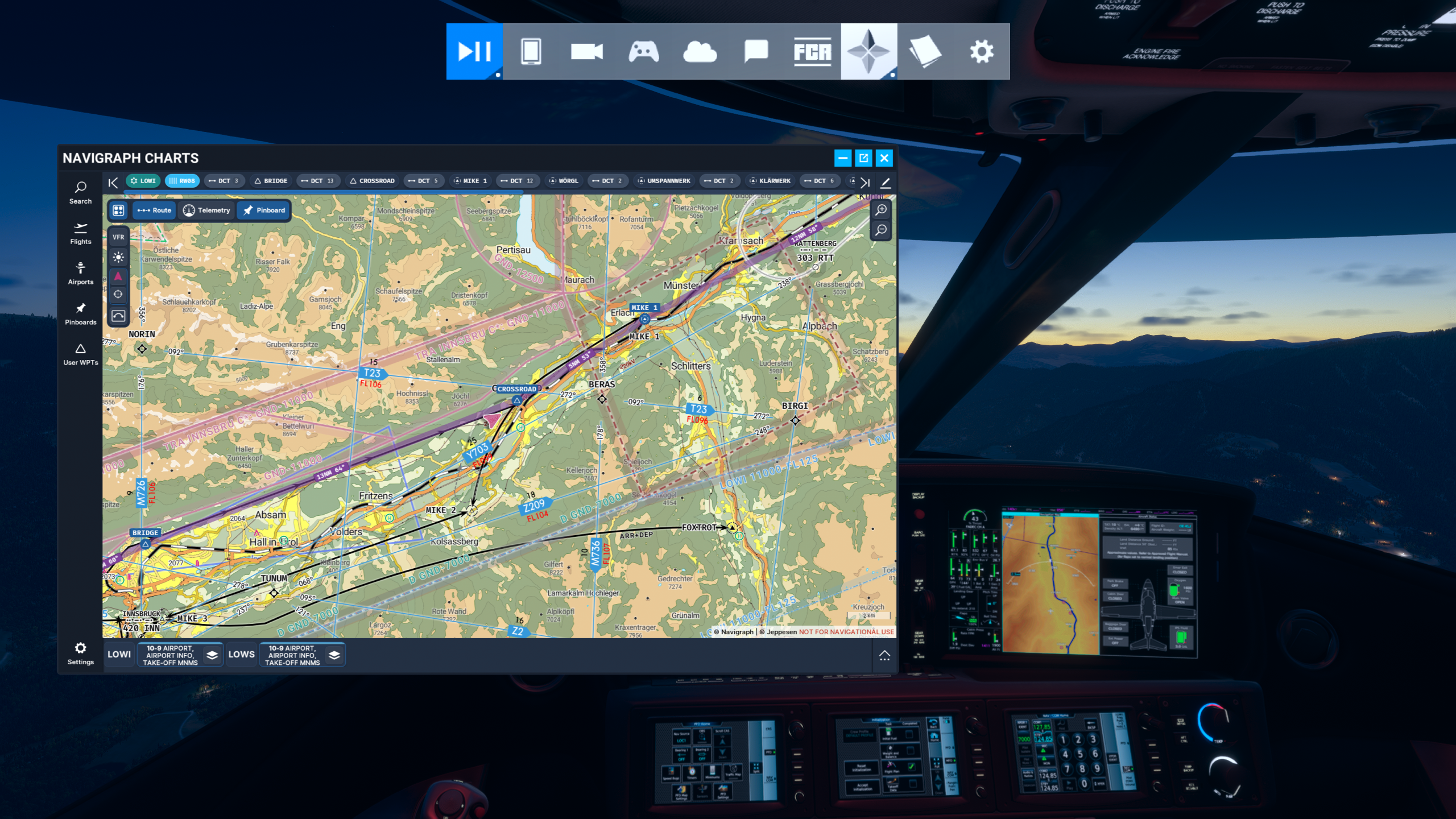
Using external tools like Navigraph can enhance your flight planning experience by allowing you to create, edit, and optimize your flight plans. These tools facilitate the addition of waypoints, SIDs (Standard Instrument Departures), and STARs into your route effectively.
2. Importing Flight Plans
After creating your flight plan, import it into Microsoft Flight Simulator. This integration allows you to track your position in real time, ensuring compliance with your planned route.
In-Flight Navigation with Charts
1. Monitoring Progress
Within the cockpit, utilize navigation displays and instruments to monitor your progress. Pay close attention to your position relative to your planned route, and make necessary adjustments to your altitude and heading based on the charts.
2. Updating Flight Plans
Flexibility is key during flight. Use the in-game navigation tools to update your flight plan dynamically. You can add or remove waypoints as needed to adapt to changing conditions or circumstances.
3. Utilizing Navigation Aids
Tune into VORs or NDBs for navigation signals that will guide your flight path. Alternatively, use GPS technology for precise positioning and to keep you aligned with your planned route.
4. Awareness of Airspaces
Always be mindful of the various airspaces you are traversing. Know the boundaries and regulations of restricted or controlled airspaces, ensuring that you comply with all necessary clearances for entry.
Tools and Resources
– Navigraph Charts: Offers a comprehensive array of charts and flight planning tools that integrate seamlessly with MSFS, giving you the ability to import and navigate planned routes efficiently.
– In-Game Navigation Tools: Microsoft Flight Simulator features built-in navigation systems, including GPS and navigation displays. These tools work in concert with charts to enhance your flying experience.
Tips for Beginners
– Practice with Simple Flights: Start your journey with basic VFR flights to become accustomed to reading and interpreting navigation charts and utilizing navigational tools.
– Leverage Online Tutorials: There are numerous tutorials available through platforms like YouTube that can enhance your understanding of flight planning and navigation within Microsoft Flight Simulator.
Conclusion
By familiarizing yourself with the various types of navigation charts and their key components, utilizing software tools for planning and execution, and staying aware of in-flight navigation aids and airspace regulations, you can improve your proficiency in navigating Microsoft Flight Simulator. Whether you are a seasoned pilot or a beginner, mastering navigation charts will significantly enhance your flight simulation experience.


Leave a Reply